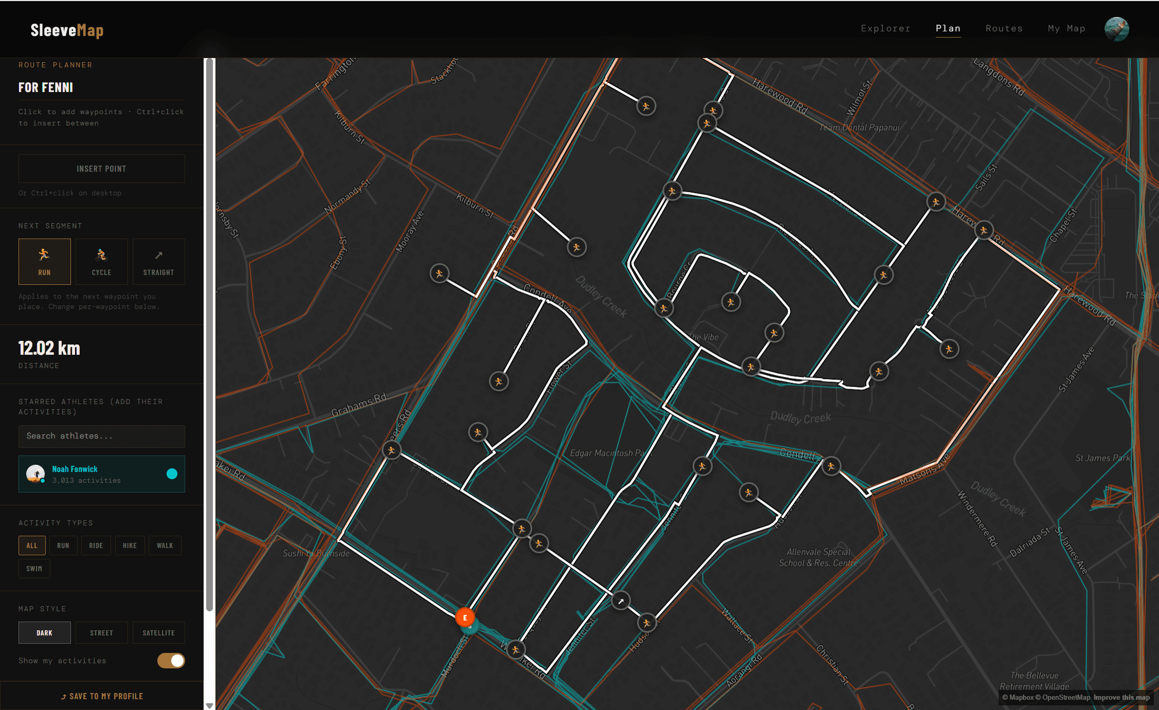
SleeveMap started as a scrappy HTML page I built before university, so I could see all my runs through Bottle Lake Forest on one map and spot the tracks I hadn't explored yet. Street collecting turned into a habit across Tulsa, Philadelphia and Christchurch, and I kept wanting a way to plan runs around both my map and my friends' maps at once.
So I rebuilt it properly.
What it does
- Sign in with Strava and see every run, ride, hike and walk drawn on one map
- Share your map at a public URL, and browse other athletes' maps in the Explorer
- Plan new routes with snap-to-road routing, switch between running and cycling profiles per segment, and export to GPX
- Overlay your friends' heatmaps while planning, so a group run can hit everyone's missing streets